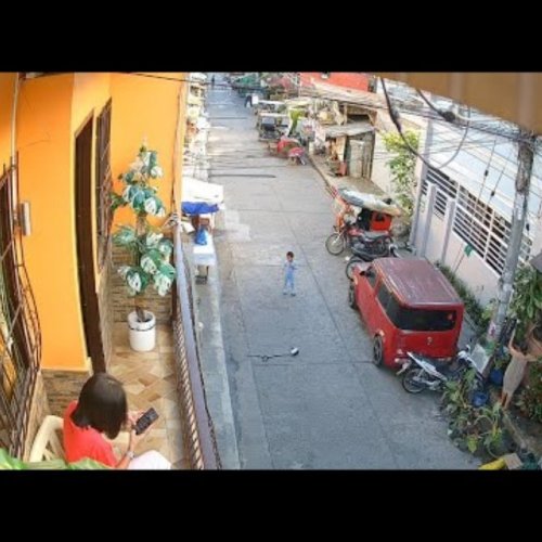
Live Traffic Cameras – Davao Region, Philippines
Explore the vibrant Davao Region through live traffic webcams that capture the pulse of its bustling streets and scenic routes. From city avenues to coastal highways, viewers can experience real‑time conditions and the region’s natural beauty.
Region Overview
The Davao Region, located on the southeastern island of Mindanao, blends modern urban centers with lush mountains, tropical forests and a sparkling coastline along the Davao Gulf. Warm, humid weather dominates most of the year, with occasional rain showers that add a dynamic backdrop to live feeds.
Key Traffic Hotspots
Webcams spotlight Davao City’s bustling downtown avenues, the Pan‑Philippine Highway (AH26) that threads through the region, and the iconic Davao Gulf bridges linking the city to its suburbs. Viewers also catch traffic on the bustling airport access road, the scenic routes toward Mount Apo, and coastal highways that reveal sea breezes and sunset hues.
Why Watch Davao Traffic Live
Real‑time traffic streams help commuters plan routes, tourists gauge travel times, and anyone interested in the region’s vibrant daily rhythm. The combination of fast‑moving urban flow, dramatic mountain silhouettes and ever‑changing weather makes Davao’s traffic webcams uniquely engaging for viewers worldwide.
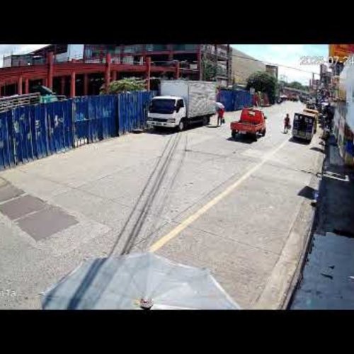
Agdao Public Market Live: Davao City Street View
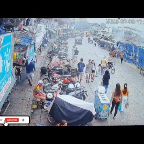
Agdao Market Exit Gate Live Webcam | Davao, Philippines
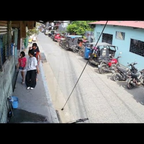
Soliman Street Live Cam: Davao City Street Life
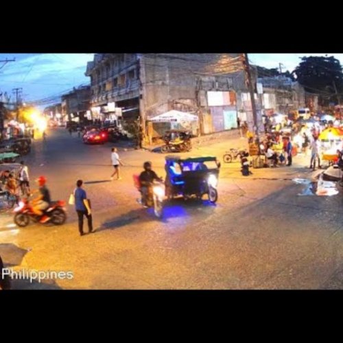
F. Bangoy & Soliman Crossing, Davao City, Philippines
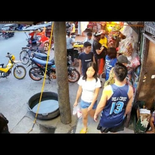
Vulcanizing Tyre Repair Shop Agdao, Davao, Philippines
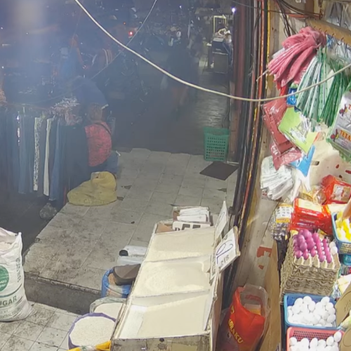
Agdao Public Market Live: Davao City Street View 🇵🇭

Agdao Flyover Live Webcam: Davao City Street View
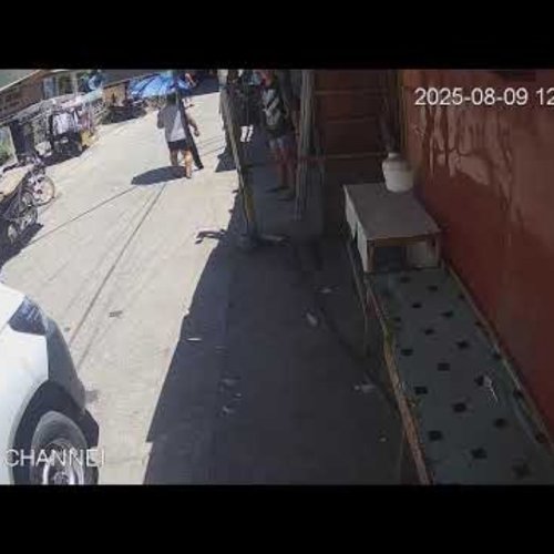
Rosemary Street Agdao Live Webcam: Daily Life in Davao City

Davao Street Life Live: Tire Repair Shop Webcam
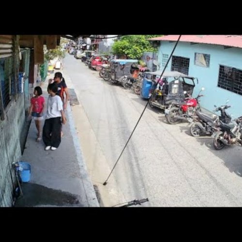
Soliman Street Live: Agdao, Davao City Daily Life
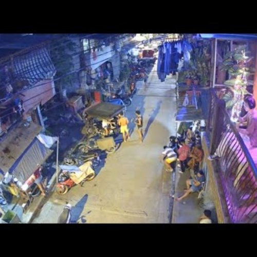
Soliman Street Live Cam: Agdao, Davao City, Philippines

Street & Dodong Barbershop, Agdao, Davao City, Philippines